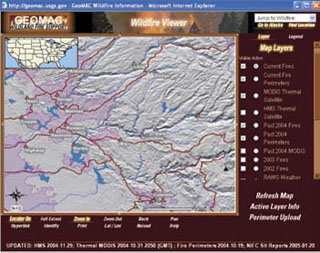
The USGS has developed an Internet-based mapping tool referred to as Geospatial Multi-Agency Coordination (GeoMAC) to support collaborative decision-making by fire coordination centers. (Image courtesy of the USGS.)
Instructor(s)
Dr. Herman Karl
MIT Course Number
11.375
As Taught In
Spring 2006
Level
Graduate
Course Description
Course Description
This course examines joint fact-finding within the context of adaptive and ecosystem-based management. Challenges and obstacles to collaborative approaches for deciding environmental and natural resource policy and the institutional changes within federal agencies necessary to utilize joint fact-finding as a means to link science and societal decisions are discussed and reviewed with scientists and managers. Senior-level federal policymakers also participate in these discussions.


